Browse
···
Log in
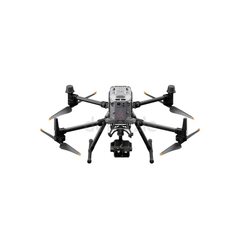
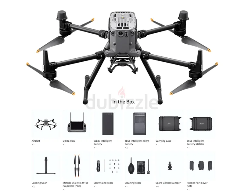
Surveying and Mapping: The Matrice 350 RTK is perfect for geospatial surveying, offering high-precision data collection for topographic mapping and land management. Inspection and Monitoring: Ideal for inspecting infrastructure, power lines, wind turbines, and more, providing real-time visual and thermal insights for maintenance and analysis. Agriculture and Environmental Monitoring: Use the Matrice 350 RTK for crop inspection, land surveying, and environmental monitoring, gathering high-quality data for precision farming and ecological studies. Public Safety and Search & Rescue: Equipped with thermal cameras and long-range flight capabilities, the drone can be deployed for search and rescue missions, disaster response, and surveillance.