Browse
···
Log in / Register
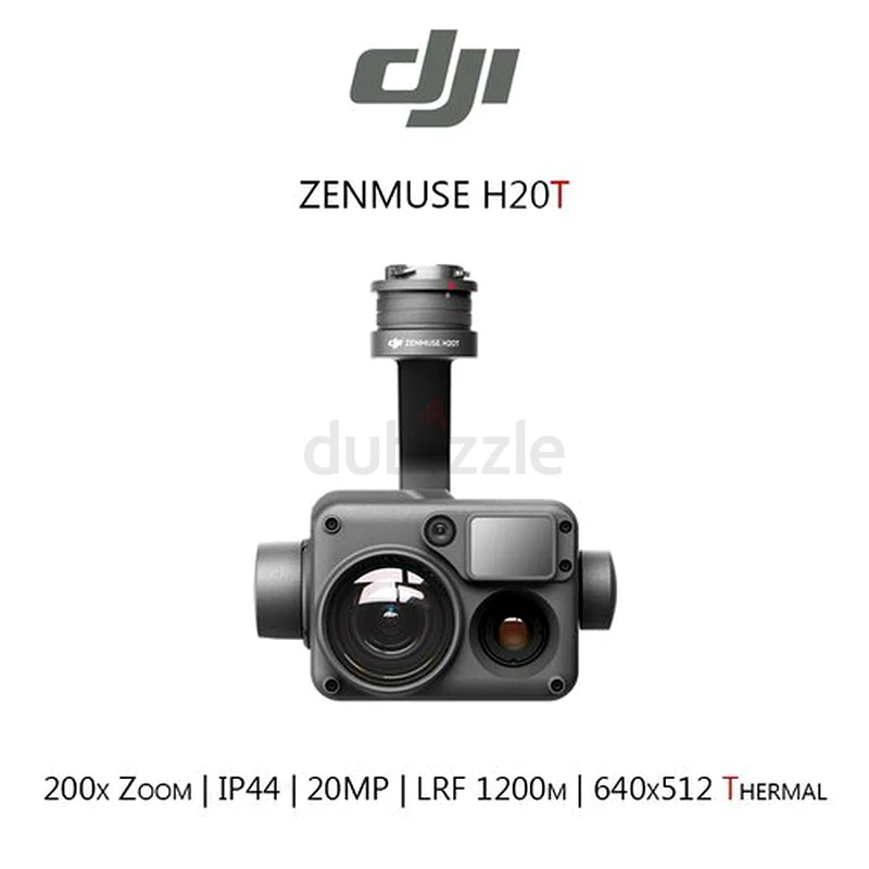

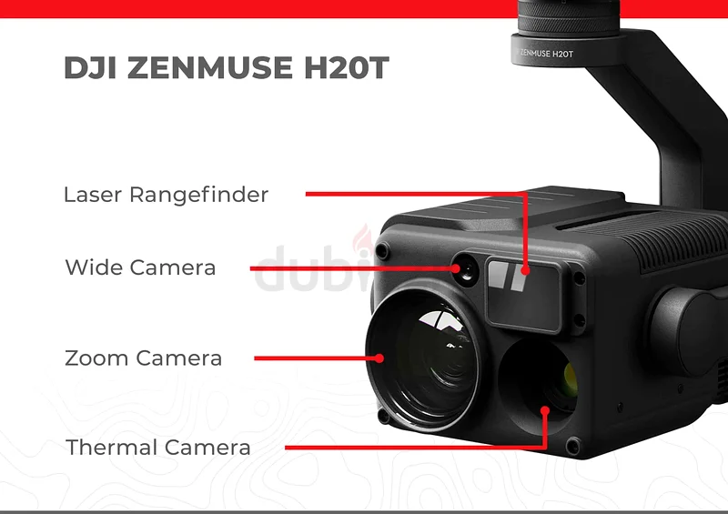
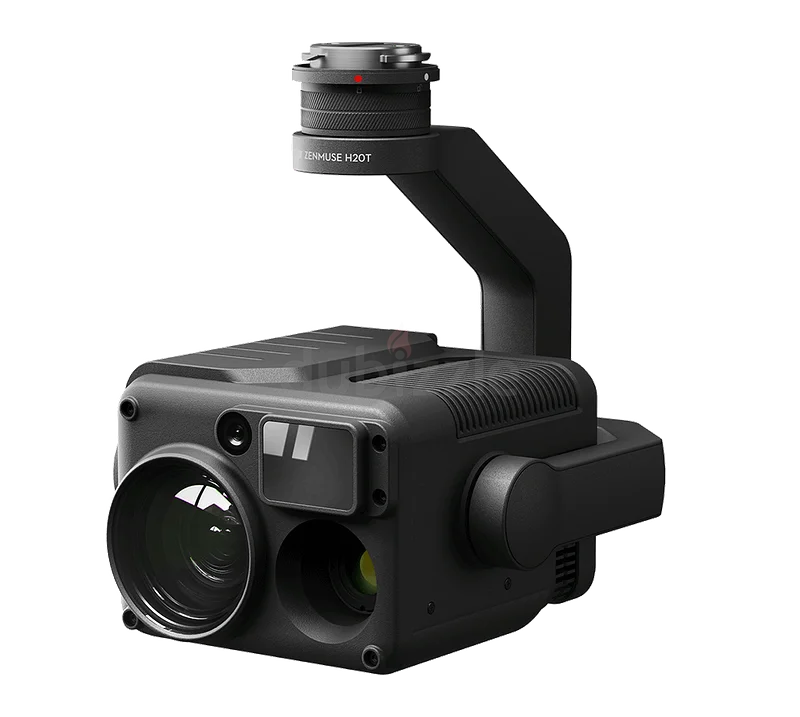
Multi-Mission: Single flight captures visible, thermal, and geospatial data. Precision Targeting: Laser + GPS sync achieves <10 cm geo-referencing accuracy. Radiometric Analysis: Measures surface temperatures pixel-by-pixel (saves as .csv). Efficiency: 100x faster than manual inspections (e.g., power line surveys). Note: Ideal for: Geological fault detection (thermal) Mineral identification (optical zoom) Volumetric surveys (laser + RTK) Night search/rescue operations